|
Map title
Plan del curso de los Rios Huallaga y Ucayali, y de la pampa del Sacramento levantado por el P. Fr. Manuel Sobreviela, Guardian del Colegio de Ocopa, en 1790, corregido y añadido, en 1830, segun las noticias, apuntes y diarios mas nuevos por Dn. Amadeo Chaumette-Des-Fosses
Map title
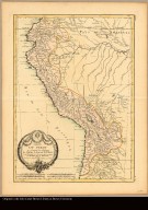
Carte du Pérou, ou se trouvent les Audiences de Quito, Lima et la Plata projettée et assujettie aux observations astronomiques par M. Bonne, Mtre de mathematique
Creator
Bonne, Rigobert, 1727-1794
Map title
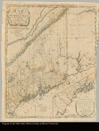
The British colonies in North America, from the best authorities
Map title
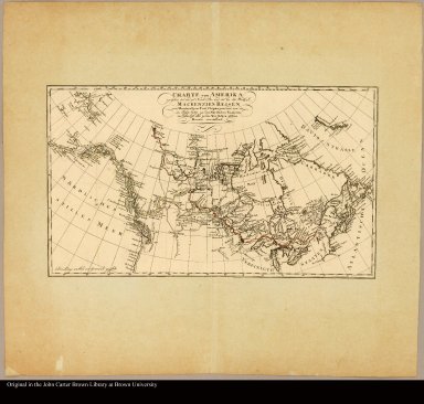
Charte von Amerika zwischen 40° und 70° Nord-Br. und 45° bis 180 Westl. L. Mackenzie's Reisen von Montreal zum Fort Chipewyan und von da im Kahre 1789 zu dem Nördlichen Eismeere, im Jahre 1793 aber su dem Westlichen stillen Meere vorstellend
Creator
Mackenzie, Alexander, 1764-1820
Map title
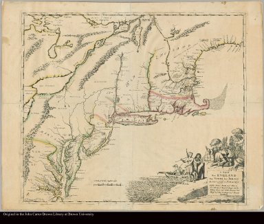
New England, New York, New Jersey and Pensilvania by H. Moll, Geographer
Creator
Moll, Herman, d. 1732
Map title
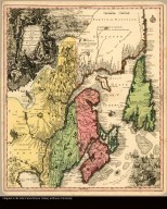
Partie orientale de la Nouvelle France ou du Canada avec l'Isle de Terre-Neuve et de Nouvelle Escosse, Acadie et Nouv. Angleterre avec fleuve de St. Laurence representé par Math. Seutter, Geogr. de S. M. Imper. d'Augsbourg
Creator
Seutter, Matthaeus, 1678-1756
Map title
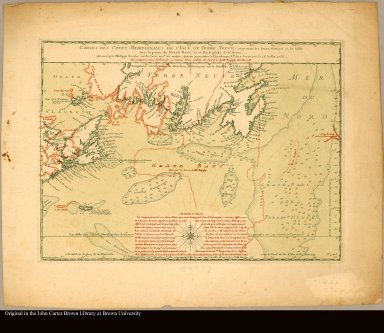
Cartes des côtes meridionales de l'Isle de Terre Neuve comprenant les isles Royale et de Sable avec la partie du Grand Banc, ou se fait la pêche de la morue; et comparée avec le plan de ces mêmes côtes et isles de la carte de Mr. Popple de l'an 1733 dressée par Philippe Buache sur la carte mste. du même auteur presentée à l'Academie Rle. des Sciences le 28 juillet 1736
Creator
Buache, Philippe, 1700-1773
Map title
Theatrum belli in America Septentrionali II. foliis comprehensum jussu Acad. Reg. Scient. et Eleg. Litt. exhibet J.C. Rhode: Geogr
Creator
Rhode, Johann Christoph, 1713-1786
Map title
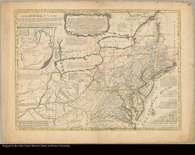
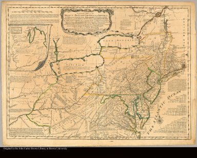
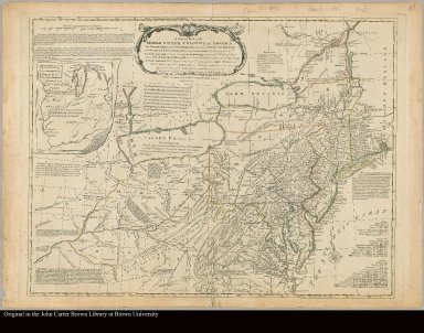
A general map of the middle British colonies, in America; viz. Virginia, Mariland, Delaware, Pensilvania, New-Jersey, New-York, Connecticut, and Rhode Island: Of Aquanishuonîgy, the country of the Confederate Indians; comprehending Aquanishuonîgy proper, their place of residence, Ohio and Tïiuxsoxrúntie, their deer-hunting countries, Couxsaxráge and Skaniadarâde, their beaver-hunting countries; of the Lakes Erie, Ontário, and Champlain, and part of New-France: Wherein is also shewn the antient and present seats of the Indian nations by Lewis Evans. 1755
Creator
[Evans, Lewis, 1700?-1756, Turner, James, d. 1759]
Map title
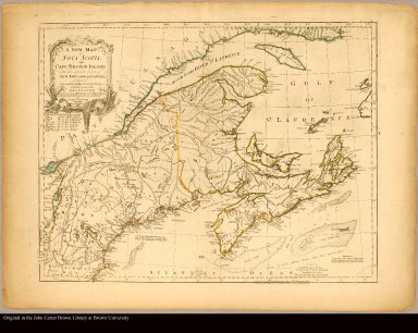
A new map of Nova Scotia, and Cape Britain with the adjacent parts of New England and Canada, composed from a great number of actual surveys; and other materials regulated by many new astronomical observations of the longitude as well as latitude; with an explanation
Creator
Jefferys, Thomas, d. 1771
Map title
A new map of Nova Scotia, and Cape Breton Island with the adjacent parts of New England and Canada, composed from a great number of actual surveys; and other materials regulated by many new astronomical observations of the longitude as well as latitude /|cby Thomas Jefferys, geographer to the King
Creator
Jefferys, Thomas, d. 1771
Map title
A general map of the middle British colonies in America viz. Virginia, Maryland, ... of Aquanishuonigy ... of the Lakes Erie ... and of part of New France ... by Mr. Lewis Evans, with some improvements by I. Gibson
Creator
[Evans, Lewis, 1700?-1756, Gibson, J. (John), fl. 1750-1792]
Map title
A general map of the middle British colonies in America viz. Virginia, Maryland, Delaware, Pensilvania, New-Jersey, New-York, Connecticut and Rhode-Island: Of Aquanishuonigy the country of the confederate Indians comprehending Aquanishuonigy proper, their places of residence, Ohio and Thuchsochruntie their deer hunting countries, Couchsachrage and Skaniadarade their beaver hunting countries, of the Lakes Erie, Ontario and Champlain, and of part of New France: Wherein is also shewn the antient and present seats of the Indian nations carefully copied from the original published at Philadelphia, by Mr. Lewis Evans 1755, with some improvements by I. Gibson
Creator
[Evans, Lewis, 1700?-1756, Gibson, J. (John), fl. 1750-1792]
Map title
A plan of the city and fortifications of Louisburg from a survey made by Richard Gridley, Lieut. Coll. of the Train of Artillery in 1745
Creator
Jefferys, Thomas, d. 1771
Map title
A general map of the middle British colonies in America viz. Virginia, Maryland, Delaware, Pensilvania, New-Jersey, New York, Connecticut & Rhode-Island: of Aquanishuonigy the country of the confederate Indians comprehending Aquanishuonigy proper, their places of residence, Ohio & Thuchsochruntie their deer hunting countries, Couchsachrage & Skaniadarade their beaver hunting countries, of the Lakes Erie, Ontario and Champlain. Wherein is also shewn the antient & present seats of the Indian nations. Carefully copied from the original published at Philadelphia, by Mr. Lewis Evans
Creator
Evans, Lewis, 1700?-1756
Map title
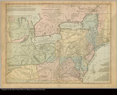
Bowles's new one-sheet map of the independent states of Virginia, Maryland, Delaware, Pensylvania, New Jersey, New York, Connecticut, Rhode Island, &c. comprehending also the habitations & hunting countries of the confederate Indians by Lewis Evans
Creator
Evans, Lewis, 1700?-1756
Map title
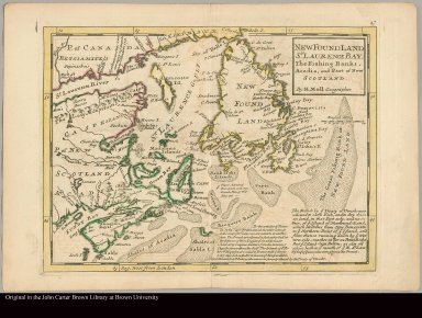
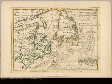
New Found Land, St. Laurence Bay, the fishing banks, Acadia, and part of New Scotland by H. Moll, geographer
Creator
Moll, Herman, d. 1732
Map title
A description of the Bay of Fundy shewing ye coast, islands, harbours, creeks, coves, rocks, sholes, soundings & anchorings &c observed by Nat. Blackmore in ye years 1711 and 1712 by Her Majesties special command
Creator
Moll, Herman, d. 1732
Map title
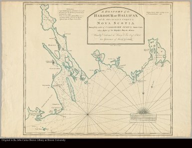
A draught of the Harbour of Hallifax and the adjacent coast in Nova Scotia survey'd by order of Commodore Spry by James Cook, when master of his majesty's ship the Mars
Creator
[Cook, James, 1728-1779, Emanuel Bowen, 1720-1767]
Map title
A chart of the Bay of Placentia, on the south coast of Newfoundland surveyed by order of Commodore Shuldham, Governor of Newfoundland, Labradore, &c. By Mich: Lane, 1772
Creator
Lane, Michael, fl. 1768-1784
Map title
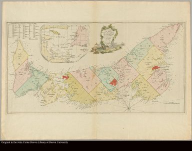
A plan of the Island of St. John with the divisions of the counties parishes, & the lots as granted by government, likewise the soundings round the coast and harbours Survey'd by Capt. Holland, 1775
Creator
Holland, Samuel, 1728-1801
Map title
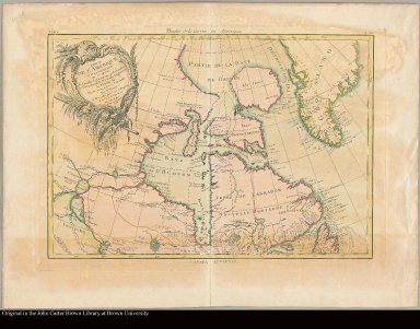
Partie de l'Amérique septentrionale, qui comprend le Canada, la Louisiane, le Labrador, le Groenland, la Nouvelle Angleterre, la Floride &c projettée et assujettie aux observations par Mr. Bonne
Creator
Bonne, Rigobert, 1727-1794
Map title
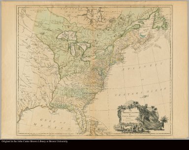
The British colonies in North America engraved by William Faden
Creator
Faden, William, 1749-1836
Map title
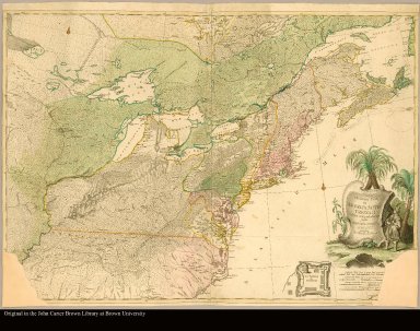
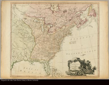
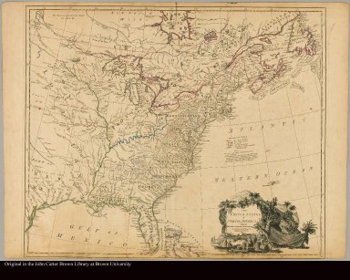
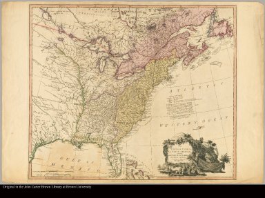
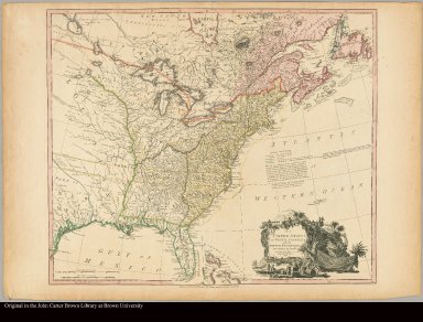
The United States of North America. with the British & Spanish Territories according to the Treaty. Engraved by Wm. Faden
Creator
Faden, William, 1749-1836
Map title
The United States of North America, with the British & Spanish territories according to the Treaty engrav'd by Wm. Faden
Creator
Faden, William, 1749-1836
Map title
The United States of North America with the British territories, and those of Spain, according to the Treaty, of 1784 engrav'd by Wm. Faden
Creator
Faden, William, 1749-1836
Map title
The United States of North America with the British territories and those of Spain, according to the Treaty, of 1784 engrav'd by Wm. Faden
Creator
Faden, William, 1749-1836
Map title
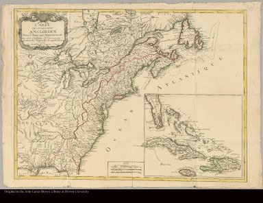
Carte des possessions angloises dans l'Amerique Septentrionale pour servir d'intelligence à la guerre presente Traduite de l'Anglois par J. Leopold Imbert
Creator
[Imbert, J. Leopold, Mondhare, Louis Joseph]
Map title
Carte generale des États Unis de l'Amerique Septentrionale avec les limites de chacun des dits Etats, convenus par le traité provisional du mois de novembre 1782 Par J.B. Eliot
Creator
Eliot, Jean-Baptiste
Map title
A map of the inhabited part of Canada from the French surveys, with the frontiers of New York and New England from the large survey by Claude Joseph Sauthier ; Engraved by Wm. Faden, 1777
Creator
[Faden, William, 1749-1836, Sauthier, Claude Joseph]
Map title
A map of the south part of Nova Scotia and it's fishing banks engraved by T. Jefferys geographer to His Royal Highness the Prince of Wales
Creator
[Harris, Moses, 1731?-1785?, Jefferys, Thomas. d. 1771]
Map title
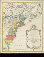
Carte nouvelle de l'Amérique Angloise contenant tout ce que les Anglois possedent sur le Continent de l'Amérique Septentrionale savoir le Canada, la Nouvelle Ecosse ou Acadie, les treize provinces unies qui sont les quatres Colonies de la Nouvelle Angleterre ... avec la Floride gravée ... par Matthieu Albert Lotter
Creator
Lotter, Matthäus Albrecht, 1741-1810
Map title
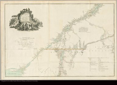
[A] chorographical map of the northern department of North America drawn from the latest and most accurate observations
Creator
Romans, Bernard, 1741?-ca. 1784
Map title
British colonies in North America drawn from the best authorities by J. Russell
Creator
Russell, John
Map title
A map of the province of Upper Canada describing all the new settlements, townships, &c., with the countries adjacent, from Quebec to Lake Huron : compiled at the request of His Excellency Major General John G. Simcoe, First Lieutenant Governor /|cby David William Smyth, Esqr., Surveyor General
Creator
Smyth, David William, Sir, 1764-1837
Map title
A map of New England, New Yorke, New Iersey, Mary-land & Virginia
Map title
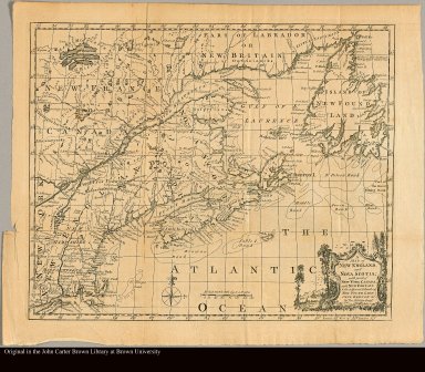
A map of New England and Nova Scotia with part of New York, Canada, and New Britain & the adjacent island of New Found Land, Cape Breton, &c. by Tho. Kitchin Geogr
Creator
Kitchin, Thomas, d. 1784
Map title
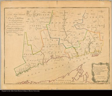
To the Right Honourable the Earl of Shelbourne, His Majesty's Principal Secretary of State for the Southern Department this plan of the Colony of Connecticut in North-America is humbly dedicated by His Lordship's most obedient humble servt. Moses Park. Novr. 24, 1766
Creator
Park, Moses, 1738-1828
Map title
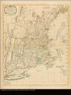
A map of the most inhabited part of New England, containing the provinces of Massachusets Bay and New Hampshire, with the colonies of Conecticut and Rhode Island divided into counties and townships. The whole composed from actual surveys and its situation adjusted by astronomical observations
Creator
Green, John, d. 1757
Map title
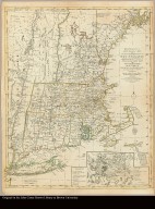
Bowles's new pocket map of the most inhabited part of New England comprehending the Provinces of Massachusets Bay and New Hampshire; with the Colonies of Connecticut & Rhode Island divided into their counties, townships, &c. together with an accurate plan of the town, harbour and environs of Boston
Creator
Green, John, d. 1757
Map title
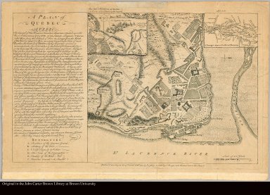
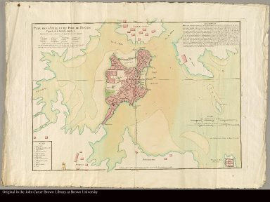
Plan de la ville et du port de Boston capitale de la Nouvelle Angleterre
Map title
A sketch of the action between the British forces and the American provincials on the heights of the peninsula of Charlestown, the 17th of June 1775
Map title
A plan of the battle, on Bunkers Hill fought on the 17th of June 1775 by an officer on the spot
Map title
A map of the most inhabited part of New England containing the Provinces of Massachusets Bay and New Hampshire, with the Colonies of Connecticut and Rhode Island, divided into counties and townships, the whole composed from actual surveys and its situation adjusted by astronomical observations
Creator
Lotter, Tobias Conrad, 1717-1777
Map title
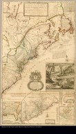
A new and exact map of the dominions of the King of Great Britain on ye continent of North America containing Newfoundland, New Scotland, New England, New York, New Jersey, Pensilvania, Maryland, Virginia and Carolina according to the newest and most exact observations by Herman Moll, geographer
Creator
Moll, Herman, d. 1732
Map title
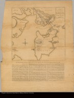
[top half of Narragansett Bay]
Creator
Blaskowitz, Charles
Map title
[bottom half of Narragansett Bay]
Creator
Blaskowitz, Charles
Map title
An exact chart of the River St. Lawrence, from Fort Frontenac to the Island of Anticosti shewing the soundings, rocks, shoals &c with views of the lands and all necessary instructions for navigating that river to Quebec
|








![[A] chorographical map of the northern department of North America drawn from the latest and most accurate observations](https://jcb.lunaimaging.com/media/Size2/JCBMAPS-1-NA/1019/28159-000.jpg)




![[top half of Narragansett Bay]](https://jcb.lunaimaging.com/media/Size2/JCBMAPS-1-NA/1019/31902-001.jpg)
![[bottom half of Narragansett Bay]](https://jcb.lunaimaging.com/media/Size2/JCBMAPS-1-NA/1019/31902-002.jpg)

