|
REFINE
Browse All : Images by Published according to act of Parliament, 30th November, 1776; by Andrew Dury, Duke's Court, St. Martin's Lane
1-1 of 1
Map title
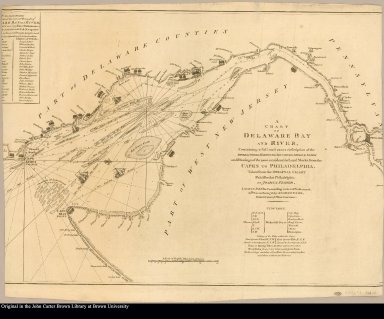
A chart of Delaware Bay and River containing a full and exact description of the shores, creeks, harbours, soundings, shoals, sands, and bearings of the most considerable land marks, from the capes to Philadelphia. Taken from the original chart published at Philadelphia by Joshua Fisher
Creator
[Fisher, Joshua, 1707-1783, Haydon, William, active 1776-1794]
1-1 of 1
|
