COLLECTION NAME:
JCB Map Collection
Record
Accession Number:
29605
File Name:
29605-000
Call number:
Cabinet B740 /1 Ms OVERSIZE
Map title:
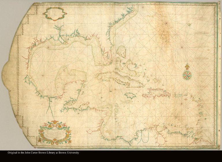
Descripcion de las costas de tierra firme de la America Septentrional--por el theniente de fragata y piloto de la Real Armada Dn. Antonio de Matos año de 1740
Publication date:
[1740]
Map size height:
81 cm.
Map size width:
109 cm.
Item description:
Manuscript map on 2 sheets, colored
Geographical description:
Portolan-type chart drawn on Mercator projection of the Caribbean islands including North America, Central America, and northern South America.
Cartobibliographic notes:
Despite being drawn in a style similar to maps done in the age of exploration, this portolan map was drawn in 1740 by Antonio de Matos using a modern Mercator projection for the use of the ships and pilots of the Spanish navy.
References:
Hattendorf, J.B. Boundless Deep, Fig. 5.9
Geographic Area:
Caribbean
Historical notes:
Despite being drawn in a style similar to maps done in the age of exploration, this portolan map was drawn in 1740 by Antonio de Matos using a modern Mercator projection for the use of the ships and pilots of the Spanish navy.
Normalized date:
1740
LC bibliographic number:
b51931758
Creator:
Matos, Antonio de
Descripcion de las costas de tierra firme de la America Septentrional--por el theniente de...
