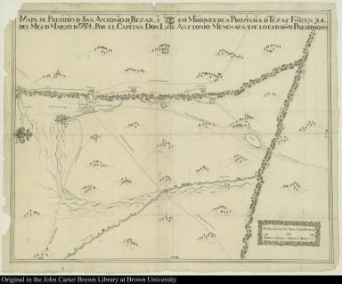
Detail View: JCB Map Collection: Mapa d[e]l Presidio d[e] San Antonio d[e] Bexar, i sus Misiones d[e]la Provinsia d[e] Texas ...

|
Accession Number:
|
5788
|
|
File Name:
|
5788-1
|
|
Call number:
|
Cabinet Cg764 /1 Ms.
|
|
Map title:
|
Mapa d[e]l Presidio d[e] San Antonio d[e] Bexar, i sus Misiones d[e]la Provinsia d[e] Texas ...
|
|
Publication date:
|
Marzo 1764
|
|
Map size height:
|
36.7 cm.
|
|
Map size width:
|
46.7 cm.
|
|
Item description:
|
manuscript
|
|
Geographical description:
|
Map of the presidio of San Antonio de Bexar.
|
|
Geographic Area:
|
North America
|
|
Historical notes:
|
The presidio of San Antonio de Bexar, present-day San Antonio, was at the center of Spanish defense of western Texas and was founded in 1718. Luis Antonio Menchaca was captain of the garrison there and owner of one of the oldest and largest land grants in Texas.
|
|
Normalized date:
|
1764
|
|
Creator:
|
Luis Antonio Menchaca
|